Study of Sants-Hostafrancs public realm
For the redaction of Uses Plan for the Sants-Hostafrancs triangle, *estel has executed a complementary territorial and social investigation in order to give arguments for the decision-making. This research is part of the “Uses Plan Participatory process and Commercial Dynamization Plan” carried out by MonoDestudio.
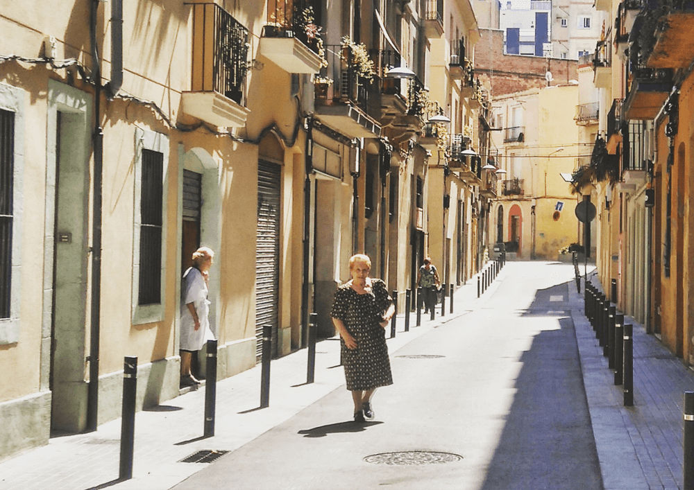
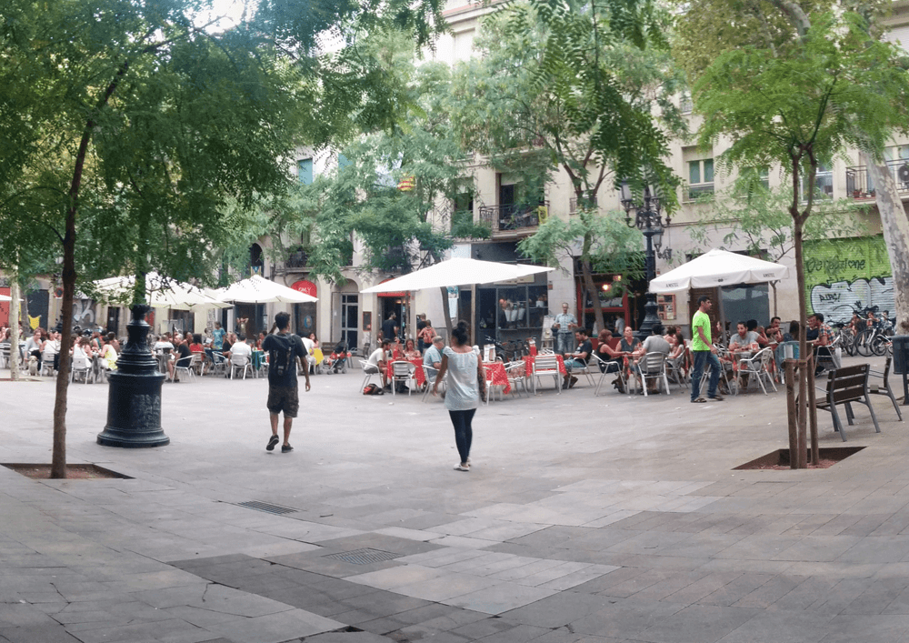
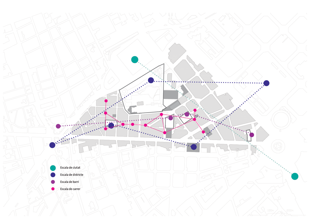
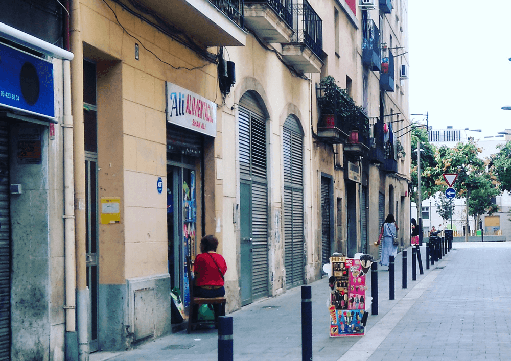
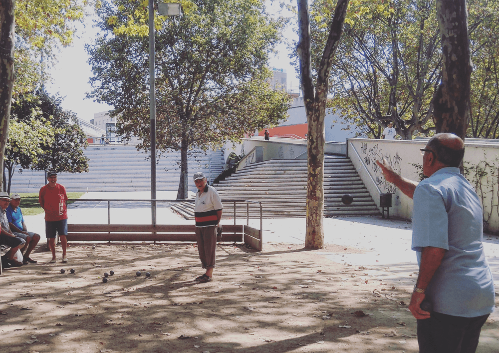
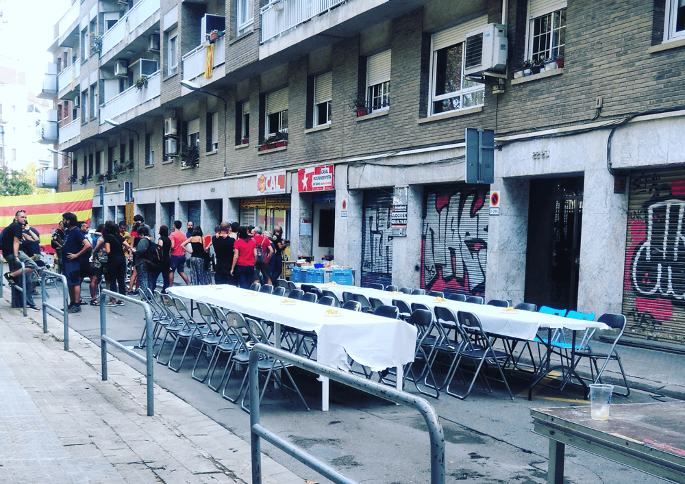
The study is limited to an area of 33 hectares that includes part of the Sants and Hostafrancs neighborhoods of Barcelona. Within this area, however, there are places of variable scales: from small neighborhood squares to the city’s public spaces. All of them accommodate both foreseeable and unforeseen activities, completing the whole range of events in the urban public sphere.
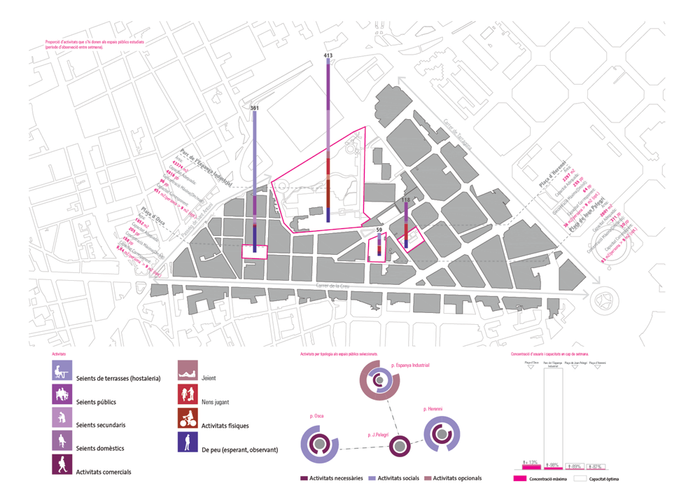
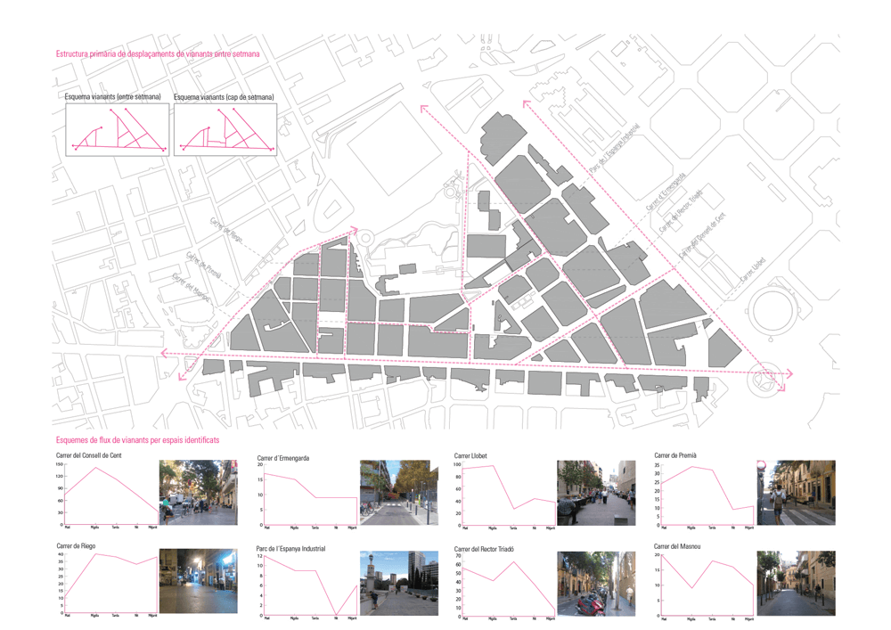
For the realization of the study, an observation has been carried out for two days, one during a weekday and another one at the weekend in 5 different moments of the day (morning, midday, afternoon, night, midnight). That methodology aimed to unveil the patterns of the activities that are allocated to the study area in order to understand and explain the fundamental information regarding who is doing what and where within some parameters of established activities.
Thus, amongst others, it has been identified and studied the network of public spaces and its anomalies, pedestrian mobility, activities that take place, and safety perception. To better understand the main public spaces and their realm, a comparison between them has been done regarding social interaction, diversity of activities, amount of people, materiality, and dynamics between private and public space.
Place
Barcelona
[1,620,343 inhabitants]
Scale
District
Type of project
Urban Strategies
Citizen Cooperation
Duration
3 months[2016]
Promoters
Municipality of Barcelona
Sants District
Team
TESEU
*estel, MonoD estudio
Collaborators
Entities and neighbours of
Sants district
Study
Read the full report at issuu