We make strategic plans and diagnoses to recognize the territory, establishing with consensus lines of intervention that have the capacity to promote the strengths and potentialities of each place. We reinforce the processes of collaboration and interagency cooperation by developing the capacities of the citizenry.
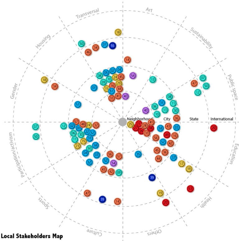
Socio-territorial Analysis
Statistical Analysis and Data Exploitation
Application of indicators for urban quality of the space
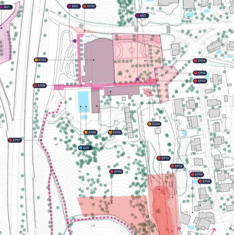
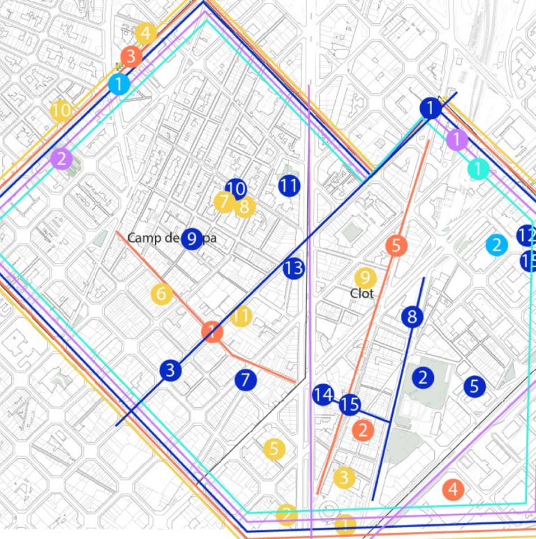
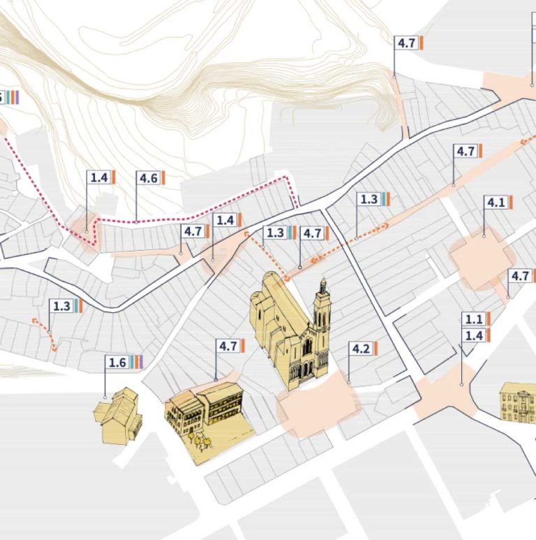
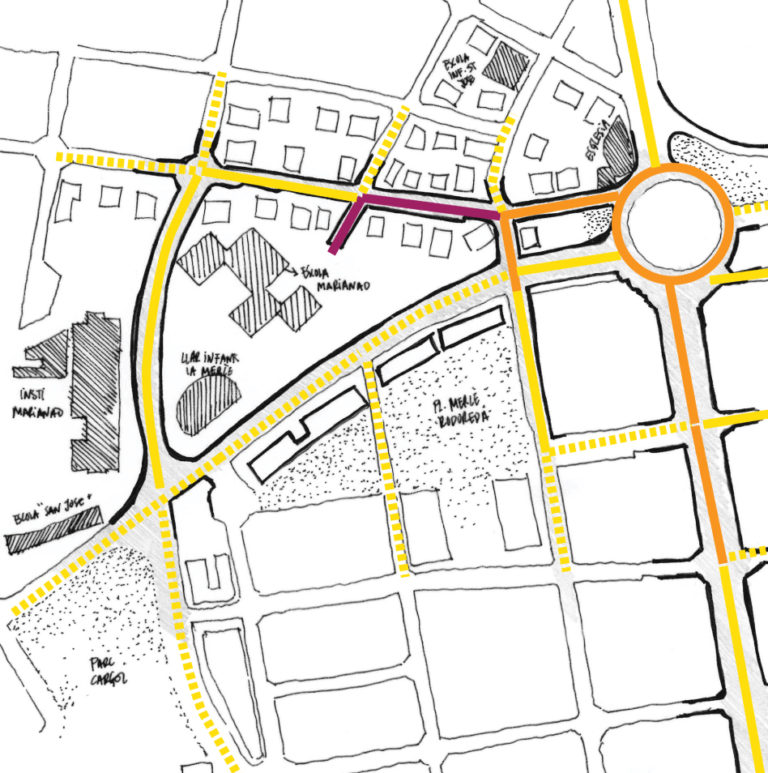
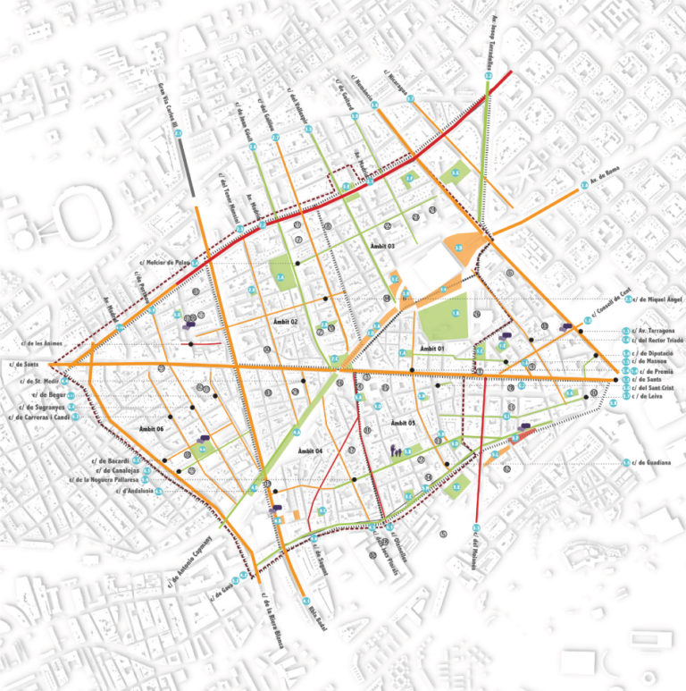
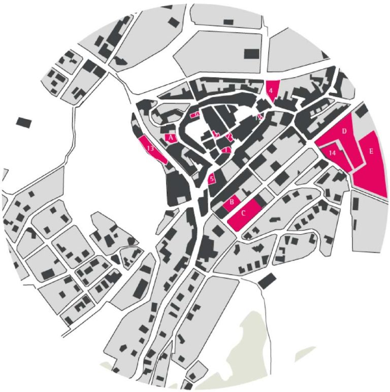
Urban diagnosis of public spaces and other territorial areas
Technical documents for urban planning
Municipal Urban Development Plans (POUM)
Master Plans, Special Plans, and Strategic Plans
Urban Regeneration Plans
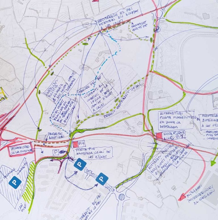
Sustainable Urban Mobility Plans
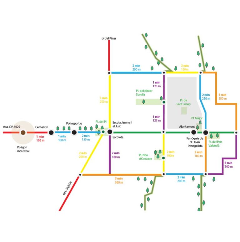
School Pathways
Municipal Dynamization and Revitalization Plans
Studies and research on urbanism with a gender perspective
This website uses cookies to obtain browsing data and the use of the page by users. You can see more information in Legal Terms.
Below, you can read more about them and choose which ones you accept and which ones you reject while you are on our website.
This website uses cookies to improve your experience while you navigate through the website. Out of these, the cookies that are categorized as necessary are stored on your browser as they are essential for the working of basic functionalities of the website. We also use third-party cookies that help us analyze and understand how you use this website. These cookies will be stored in your browser only with your consent. You also have the option to opt-out of these cookies. But opting out of some of these cookies may affect your browsing experience.
Storage or technical access is necessary to create user profiles to send advertising or track the user on a website or several websites with similar marketing purposes.
The storage or technical access is strictly necessary for the legitimate purpose of allowing the use of a specific service explicitly requested by the subscriber or user or with the sole purpose of carrying out the transmission of a communication through an electronic communications network.